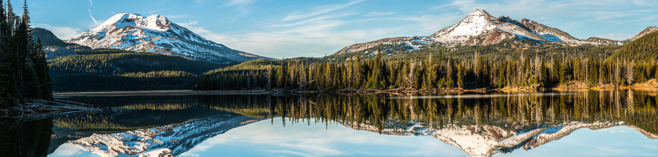
Sunriver, Oregon is a 3,300-acre planned residential and resort community in Deschutes County, Oregon. It is located on the eastern side of the Deschutes River about 15 miles south of Bend at the base of the Cascade Range.
Sunriver consists of residential homesites and common areas, recreational facilities, the Sunriver Resort Lodge and a commercial development known as The Village at Sunriver. The roads in Sunriver feature mostly roundabouts, locally known as “Circles,” with only a few intersections. Many areas are designated by their Circle Number which run 1-7 and 9-11. Why no Circle 8? Well, according to Steve Scott, “The original master plan included Circle 8 when the developer owned property that was North of Maury Mtn Ln and East of McNary & Cypress Lanes. Prior to that area being developed, it was traded with the USFS for property that now includes the Airport. No longer needing Circle 8.” Circle 8 has since become a tad infamous as a joke for tourists as well and an app for Sunriver available for smartphones.
The Sunriver Resort Lodge, owned by Destination Hotels and Resorts, has hotel-style rooms, banquet facilities, a fine dining restaurant, and other amenities. Sunriver Resort manages four golf courses. The two inside Sunriver, Meadows and Woodlands, are public courses, Sunriver also features the SHARC (Sunriver Homeowners Aquatic and Recreation Center), a 22 acre water park and more, completed in 2012. Sunriver Area Maps are available for you at our office.